
So as a "blogger", I sometimes write blogs in my head as I experience cool things. While this is decidedly sad and I may need some psychiatric help, the bottom line is that the better the adventure, the better the story in my head becomes. Trekking the Four Peaks ridge line was just such an amazing adventure that the blog in my head threatened to explode by the end of it.
The crew of five met up at 4:00 pm Saturday afternoon to head out to the mountains. Team ODP was in attendance (Angel, Sarah and I) along with Tom and my coworker Martin. After realizing that there was a forgotten pair of hiking shoes, we had about an hour delay to remedy that. Flip flops would have been tough. We finally rolled out at 5:00 pm and made the 2.5 hour drive to the base of the mountain range. The 18 mile dirt 4x4 road leading to the mountain is slow slow slow albeit quite beautiful.
 View of Four Peaks just after turning off the highway.
We had the trailhead parking lot at the base of the mountains to ourselves as our campsite. It overlooked Lake Roosevelt and much of the mountain ranges overlooking Phoenix. It was a beautiful night with cool temps in the 80s. After a little frisbee, we climbed up the mountain a little way to get the view of a beautiful sunset to enjoy a little wine with. Everyone was pretty excited for our 5am wakeup the following morning and the night ended early.
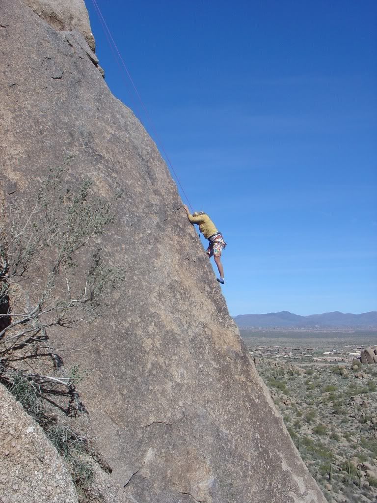
 Knee problems... What knee problems? I can jump at least 2 inches off the ground now.
 Our campsite /trailhead at the Lone Star Saddle. We saw no other people at this trail head the whole time. Phoenix people are lame, they don't explore their backyards.
 After a short but hot and restless night (we slept four in a 4 person tent...never fun) we woke up to some nice Bulgarian techno on Martin's phone. The sun was coming up in a beautiful way but it had rained over night and I was a little worried about some of the clouds making up that beautiful sunrise. We packed up camp and hit the trail at 5:50 am.

Off we go! Little do we know that we won't return until 7:30 pm.
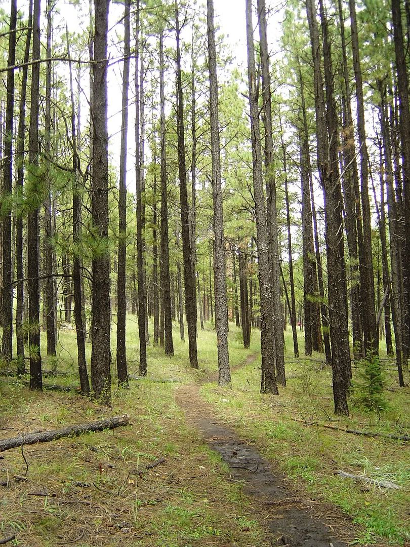
Browns Peak Trail #133 hooks up with Amethyst Trail #253 and you arrive at the saddle on the north side of the peaks in an easy 2.5 miles. When we arrived at the saddle, we were excited to get our first glimpse of our task at hand, but alas we were met with this view. I started to wonder if the dense fog was going to be a problem, but we all figured it was early and it would definitely burn off soon.
 The top is completely shrouded in clouds but that can't stop Sarah's smile.
 Overlooking the Amethyst Trail. It runs up and down natural valleys coming off the mountain.
At this point, we followed the Amethyst Trail which is a much fainter trail leading along the western side of the peaks to a working amethyst mine about 2 miles away on the south side of the peaks. The plan was to take the trail as far as we could before stating the climb up the side of the southern most peak. We would then work our way north over three more peaks before hooking up with the trail coming down the northern most Brown's Peak and back to the saddle in one large loop. Most people seem to go the opposite way, but we figured we would rather hit the hard unknown peaks first when we were fresh. Clouds soon moved over covering everything in a dense fog.
 Tiny red dot is Tom in the center.
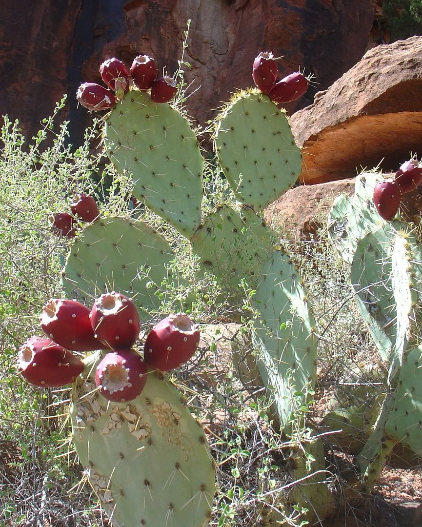
 So for those of you who don't know, amethyst is purple colored gem which is mined out of the ground. The mine on Four Peaks is a tiny privately owned plot of land which is accessed only by helicopter (or foot but miners don't use the trail). It is known to have the most quality amethyst found in the US. Sarah mentioned that she found a small piece last time so we were all on an amethyst hunt. We got excited about a couple of small pieces but soon realized that the closer we got to the mine, the larger the pieces were getting. Once in the immediate mine vacinity, we struck the amethyst motherload. Huge pieces were just strewn all over the ground. By the time I got out of that area, I had picked up at a couple of pounds in my backpack of some amazing rock.
 Martin has a huge piece of amethyst. He decided this one was too large to take home, although later sort of regretted it. I picked up a fist sized rock to take home.
Our trailed dead ended at the mine property which we had to trespass on to start the bushwack up the mountain (shhh). The typical approach is to bushwack up between peaks #4 and #3 and then head south to summit #4. We climbed further into the deep fog using the small trees as handgrips up the steep loose rock side.

 At one moment, we all stopped to discuss navigation and so I was about 15 feet directly below Sarah and Angel. Once we started moving again, I had my head down and was about to climb up a face level rock when I heard the panicked yell of "rock!" from someone above me. I looked up and in a split second reaction, I threw up my right forearm to shield my face and redirected at 10 inch rock inches away from my face. Sarah and Angel watched the whole thing in horror. If it would have hit my face, I would have been bleeding somewhere I am sure. I chalked it up to excitement #1 on the day and a point scored for my reflexes and moved on with more care to stay out from underneath another climber.
After climbing up up up for about 45 minutes, we finally came to a point that seemed to be as high as one could go. Unfortunately, we knew it was not the summit as there was not a summit marker and it was too small. The problem was, it was a complete white out and we couldn't see more than 5 feet in any direction. Next came the discussion, which way was the actual peak#4 summit? Three of us were convinced it was one way, Sarah was positive it was the complete opposite. We argued for awhile and for the first time I really considered we might not make it. In a complete white out, you cannot route find passable ways down cliffs effectively killing our chances from the beginning. I remember thinking that it would be very easy to get disoriented and make even retreat (aka returning to the car and safety) very difficult.
 Great view from the ridge...right... Now which way to Peak #4?
We knew we needed to head south to get to peak #4 so... we got out the compass to prove to Sarah which direction south was. Thank God we had a compass. After taking a reading, somehow learned that Sarah was dead on and the rest of us were completely turned around. I fully admit now that she has an amazing sense of direction and also has mad survival skills. At that point I realized that navigation by compass over a knife ridge may be more that we could handle, but we started off going south along the ridge into the great unknown.
To be continued...
*PS: These pictures are a mix of Angel's, Sarah's, Martin's and mine. I don't feel like marking down the author of each one so in the spirit of teamwork, I won't.


1 comment:
Awesome photos. Amethyst is my birth stone! I also think of blog stories in my head--lame right? I love the part about the Bulgarian techno. Too funny.
Post a Comment