
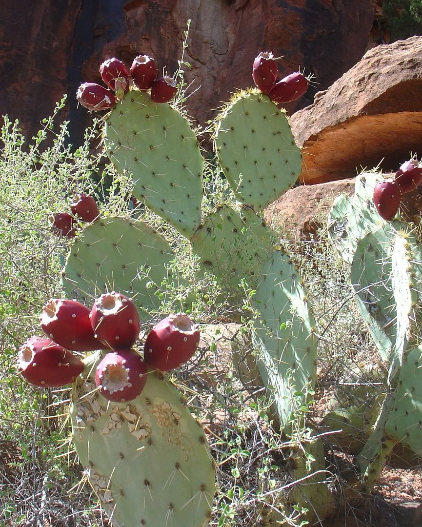
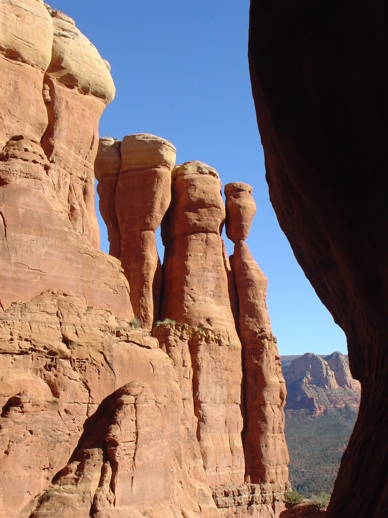
Get caught up from last time here. See some cool pics here. Bang your head against a wall here.
When we last spoke, our group of five adventurers were sitting on the ridge between Peak 3 and Peak 4 in a complete white out arguing about which direction was South towards Peak 4. Our trusty compass finally pointed the white way and we started into the abyss. Moving south over the ridge was a series of cliffs, climbs and white on either side. For a moment, the cloud cleared up and in that instant we were able to spot the summit, a short distance ahead. Our plan was to snap pictures when we could so that we could them to navigate once it disappeared again. This is the equivalent of using a map that a toddler drew to drive from California to New York. Oh well, game on.
We finally summited the south most peak (we call it Peak 4) and signed the ammo box book with great joy. The last recorded signature was from April of this year. These mountains just don't get climbed very often. It was 8:30 am at this point and we all felt pretty happy to be on our way. All that remained was a trecherous climb over three more peaks to the north of us. Easy peasy. We regrouped, ate a bar and started back along the ridge we had just climbed to start towards Peak 3.
 Looking north from Peak 4 towards Peaks 3-1 in a moment of clarity.
After arriving back at the ridge below Peak 4, we tried to take the most direct route up to Peak 3 which involved going straight up the side of many series of walls and cliffs. There was a lot of exposure on this all with drops into a white sea on either side. This was probably my favorite part of the day. Extreme focus was warranted and each person was stuck in their own little white world. Once you start up a steep rock face, there is no coming down, so you start to climb stuff you wouldn't normally dream of, particularly when there is unknown even further ahead.


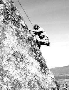
 Tom leads the way up the straight wall. All I know is that there is no coming back this way.
We finally got to a high knife ridge which we could follow to the summit of Peak 3. It was 10:30 am and we were making awesome time still. I remember discussing that getting off of Peak 3 was going to be the challenge of the day. I was worried since the south side we had come up, was impassable to go back down so we needed to find a route down the east or north side. To follow the ridge would take us down the north side, but we quickly came to a 40 foot cliff which was not an option so we had to head down the east side and hope to head north lower on the mountainside. Onward.
 Tom hits the ridge at the top of Peak 3
 Peak 3 glory! We left some amethyst in these boxes as an offering.
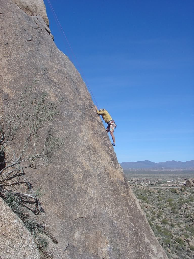
 Angel shows her fear after seeing my previous dilemma.
 Another fun down climb, quite doable, but slow going.
We met back up with Martin and Sarah a short time later and finally found a crack that descended 500 feet in a series of climbable cliffs. We had to drop a lot more elevation than we wanted to get out of it though and by the time we found a place to start the bush wack north, we had spent over two hours getting off of Peak 3. For about an hour, we followed the side of the mountains humps north with much of this being an non-enjoyable tree hack rock scramble. Finally we found ourselves directly below Peak 2.

 Guess what is next? Yup, more climbing up the same type of terrain that had taken us two hours to get down. It had gotten very hot at this point (90 with 80% humidity) and this is when the water started to disappear. At this point Martin and Sarah found a tiny natural spring of water dribbling down a rock and were able to refill their water bottles. I hadn't checked my water supply in awhile and had no idea how much I had left but for some reason assumed I was fine. I had just started my second 2L bladder recently. There were a lot of bushes on this side and although the grade was not as steep, it seemed harder due to loose dirt and rocks that threatened to take away half the distance made with each step. We were all getting tired and hot and ready to get to the top of peak #2.
I was sort of off by myself and reached for a tree with both hands to use it as a hand grip to climb up onto a rock. As I put my hands on the branches and started to take my weight off the ground, I heard the unmistakable sound of a rattle coming from right in front of me. Instincts immediately made me let go of the tree and luckily I was only inches off the ground. I quickly retreated so I never saw the snake but I am just really lucky that I was in a position to immediately release my arms. This was sort of the last straw for me (life flash #3 on the day) and I was totally over climbing this stupid peak #2. I think we had been moving without a single stop for almost five hours since the top of the last peak. I may or may not have gotten cranky here, but there wasn't anyone around to whine to that cared :)
 At least the view was nice! I was too tired to take many pictures.
 The top of the peak got progressively steeper and we had a couple of false summits which hurt before we summited Peak 2. It was now 3:30 pm and we had left Peak 3 at 10:30 am. We now realized that we were going to be WAY over estimated on our time and I finally checked my water levels. Woah, very little left, way past the point of conserving. Everyone else was pretty much in the same boat. Fortunately at this point, the easiest way back to the car from this point was still to go up over Peak 1 (Browns Peak). This kept our dreams alive because I think if we had had other options for easier ways back, we may have had to bail at this point.

View of Four Peaks Wilderness
We took a ten minute break on Peak 2 and I felt a bit sick but I forced myself to eat since I knew I was running a large caloric deficit up to this point. It is hard to eat properly when you are dehydrated and putting out maximum exertion. We started the climb down from Peak 2 onto a knife ridge and then went up the side of Brown's Peak to summit our fourth and final peak. This route we had taken once before on a scouting trip so it was good that the nav was easy as most of us felt a little delirious. We arrived at the top at 5:30 almost 12 hours after we started. The lighting was perfect right then and for the first time, and finally all of struggle of the day seemed to melt away.
 One last ridge on the way to Peak 1 or Brown's Peak.


Looking back over the southern three peaks that we had traversed..they look so damn easy. Not!!
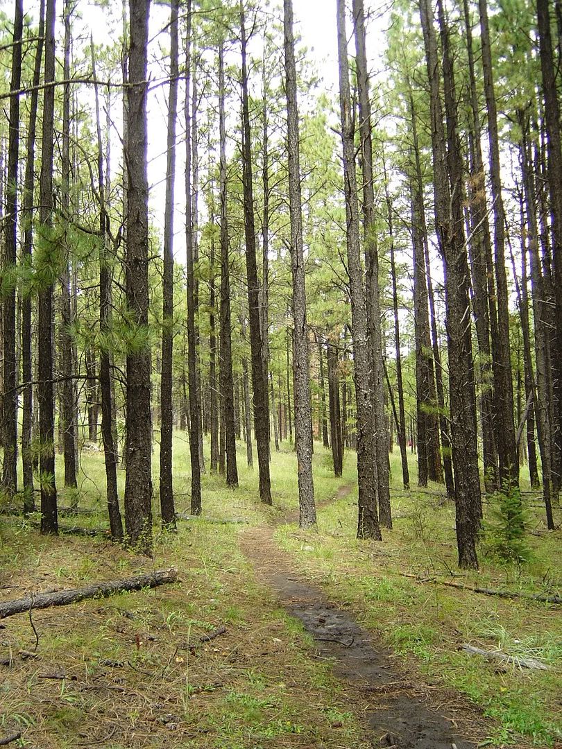
This is the only peak that sees much travel and there it is just one steep scramble of about 500 ft down to an actual a trail. Coming down this last part, I think the fatigue and dehydration really set in for me and I slowed way down. Both my knees were sore at this point but I had brought one trekking pole that really helped me keep the weight off my knees and keep me upright. The last couple miles the trail winds down through beautiful woods and I fell into a deep state of trace for most of this. Getting to the car and cracking open a Diet Coke (all I had left at the car) was a moment of pure bliss. The time was exactly 7:40, 13 hours and 50 m after our excited departure that morning. It seemed like a lifetime ago.


 Here I am with my amethyst that I lugged for 14 hours. Yes, I have big guns.

We still had the two hour crazy dirt road ride in the dark to navigate before pulling back into town at like 10 pm tired, hungry but very very happy.
*I am a little embarassed about this but after returning, I counted my wrappers and deduced that over a 14 hour period of almost straight extreme physical exertion, I had consumed 4 liters of water, 8 oz of G2, 1/2 peanut butter and jelly sandwich, 1 gu, and 3 granola bars (2 of which were 100 calorie kind). That is almost dangerously low and was a really bad idea on my part. I felt nauseous a good part of the day so I think it took away my desire to eat. Obviously in a competitive setting, this would be a good way to DNF. Noted.


1 comment:
i so glad you're alive. all of you. silly silly adventurers! we wanted to hike brown peak when we first moved her, but didn't really pay attention to the two signs that directed you in very different directions- and well we went the wrong way & after 4 or 5 hours of "this trail sucks & is way harder than we imagined" we realized our boo boo. those mountains are not nice, but you showed it who's boss. now drink lots of water & come hang out with me.
Post a Comment